Property Investment
Deal Radar
Spatial intelligence dashboard for one submarket. $8,500, 3 weeks.
See Deal Radar →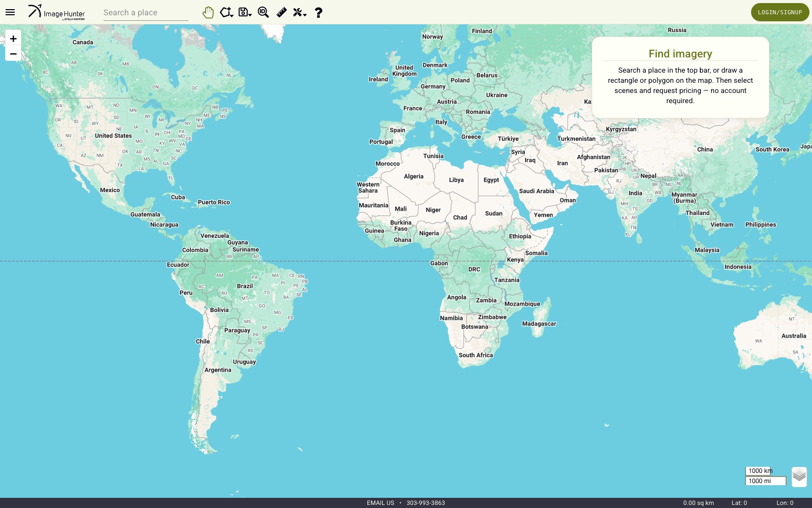
Let customers of a satellite-imagery broker search a global archive of scenes by location and date, and trust what they find.
Angular front end on a Python Flask API with PostgreSQL/PostGIS spatial queries; AWS S3, RDS, EC2, and API Gateway across staging and production, plus an imaging pipeline to catch and discard occluded raster tiles.
“Show me everything within this boundary, filtered by date and quality” is the same query behind parcel search, comps, and market screening.
Fixed scope, fixed timeline, fixed price. See all 8 starter kits.
Spatial intelligence dashboard for one submarket. $8,500, 3 weeks.
See Deal Radar →Visualize holdings with live market context. $9,500, 3 weeks.
See Portfolio Map →MLS-connected site with map-first search. $7,500, 3 weeks.
See Listings + Neighborhood Site →Book the free 10-minute fit call, or keep reading: next up is Pushyy.