Civic & Urban Planning
LaXing
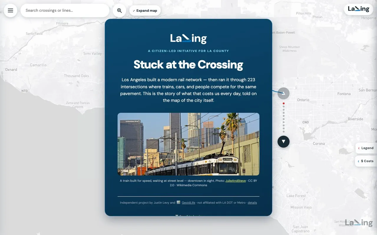
Make the case for grade-separating LA’s light rail — 223 street crossings — vivid enough to move voters, agencies, and funders.
Full case study →Six case studies, then the archive: fifteen years of maps, apps and platforms, one line each.
Make the case for grade-separating LA’s light rail — 223 street crossings — vivid enough to move voters, agencies, and funders.
Full case study →An indoor-outdoor marketplace filling 13 retail spaces needs tenants, investors, and the neighborhood to see the place before the doors open.
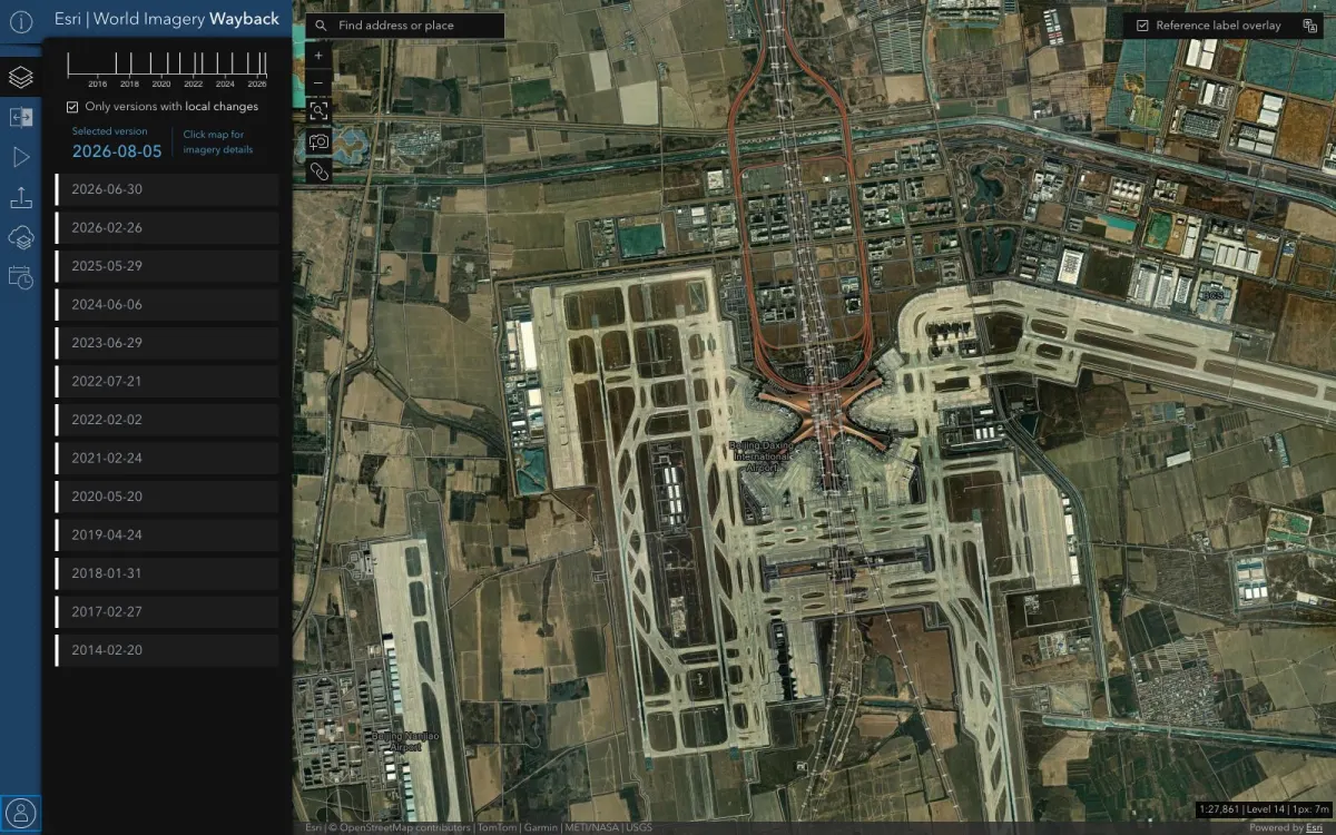
Full case study →A secured browser app for a government client to explore years of historical satellite imagery — on infrastructure that could not go down.
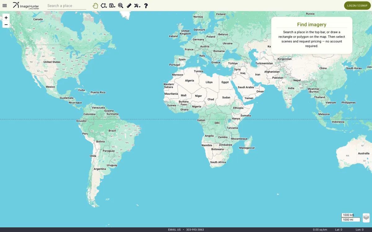
Full case study →Let customers of a satellite-imagery broker search a global archive of scenes by location and date, and trust what they find.
Full case study →Take over an agency’s React Native geolocation marketing app and rebuild it native — without losing the product in the process.
Full case study →A data-center industry nonprofit needed its web presence, SEO, and event marketing run like a product, not a side project.
Full case study →Story map and data app for the LA ballot initiative to lift Metro light rail out of street traffic: 223 crossings, ten years of collisions, a trip planner and the financing math. Built with Justin Levy.
Secured browser app for a government client to explore years of historical satellite imagery, built at Esri on AWS with React and TypeScript.
Satellite-imagery search for Apollo Mapping: Angular over a Flask API with PostGIS queries across a global archive.
Full redesign of the chapter site on StarChapter: events with Eventbrite, member registration, sponsor showcases, SEO and email campaigns, run from the board since 2024.
Geolocation marketing app rebuilt from React Native to Swift and SwiftUI as the outside lead, shipped through CI/CD to TestFlight.
Browser-based GIS file converter on AWS Lambda and GDAL: KML, KMZ, Shapefile, GeoJSON, GPX, CSV and DBF, with a map preview before you download.
Nico Tek’s GIS platform and resource hub, home of the converter and the LaXing maps.
AWS certification prep sold by Nico Tek: practice questions, flashcards and timed exam simulators for four certifications. The earlier Cloud Practitioner and AI Practitioner study games now live inside it.
iOS app that finds artists, venues and music near you. A University of Redlands GIS project turned SwiftUI platform, presented at the 2014 Esri User Conference.
This site: two switchable designs, Contour and Aurora, responsive and audited for accessibility.
Cross-platform location-based marketing prototype in Ionic and Angular, deployed to TestFlight.
iOS parking-finder prototype with CoreLocation, MapKit and an animated logo.
Cartographic products and impact graphics for engineering assessments.
Research maps and infographics of contaminant sites relative to hydraulic fracturing.
Wireframing, prototyping and design-to-code curriculum taught at UC Irvine.
A mantra poster for the pause before design work: breathe deeply, think slowly, dream focused.