Property Investment
Deal Radar
Spatial intelligence dashboard for one submarket. $8,500, 3 weeks.
See Deal Radar →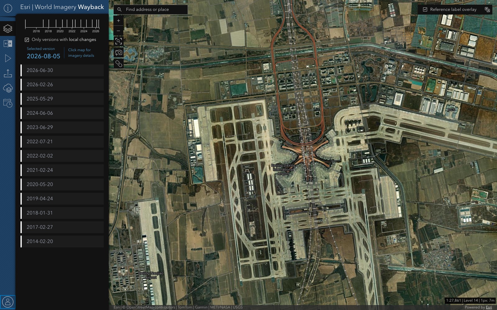
A secured browser app for a government client to explore years of historical satellite imagery — on infrastructure that could not go down.
React, Redux, and TypeScript over an imagery API, with assets on AWS S3 and processing on EC2 — part of six years engineering the automation, tiling schemes, and deployment behind Esri’s raster web map tile services.
The same discipline that serves satellite imagery to millions of map users is what runs your zoning, parcel, and comps layers without babysitting.
Fixed scope, fixed timeline, fixed price. See all 8 starter kits.
Spatial intelligence dashboard for one submarket. $8,500, 3 weeks.
See Deal Radar →Visualize holdings with live market context. $9,500, 3 weeks.
See Portfolio Map →Public-facing zoning + parcel viewer. $10,500, 4 weeks.
See Zoning Explorer Starter →Public comment + plan viewer. $11,500, 4 weeks.
See Community Engagement Portal →Book the free 10-minute fit call, or keep reading: next up is Image Hunter.